After an all-too-brief reprieve, the Golden State is once again starting to brown up — at least on government drought maps.
The U.S. Drought Monitor now has nearly 48 percent of the state categorized as being in at least “moderate drought.” More than 91 percent of the state is listed as at least “abnormally dry,” the precursor stage to drought.
Clik here to view.
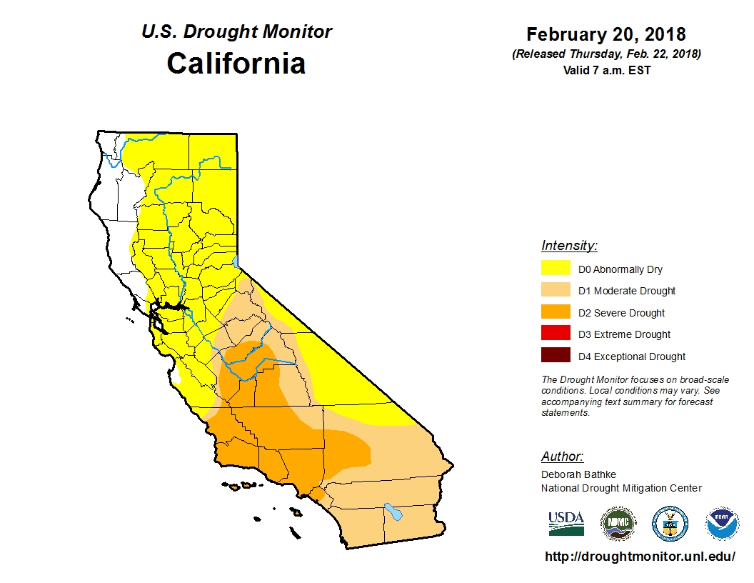
The term “drought,” is of course, highly subjective and has different meanings to different people. But the gradually returning shades of yellow and brown to the widely-cited map are unnerving to many, with the state’s most punishing drought on record so fresh in California’s collective memory.
Clik here to view.
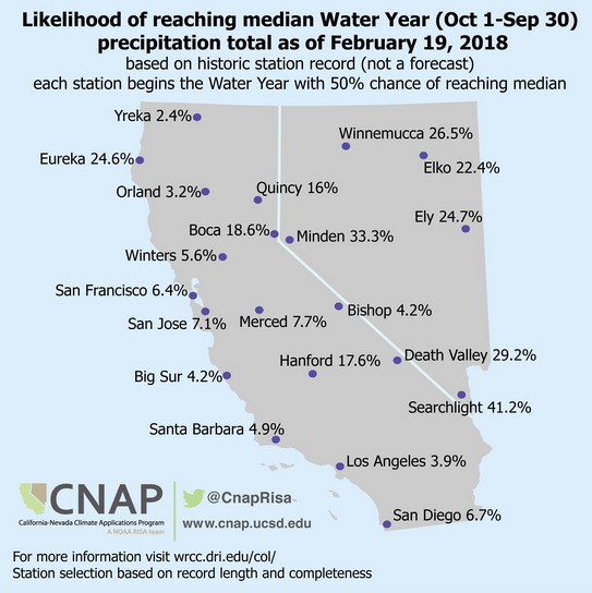
The stage is certainly being set for some sort of drought. This week as the State Water Resources Control Board considered permanent statewide restrictions on a list of wasteful water uses, members were told that, measured by a key collection of gauges in the northern Sierra Nevada, the January-through-February period has been California’s third driest on record (exceeded only by 1977 and 1991, when a “March Miracle” saved the wet season). It happens that those three months typically provide the state with half of its total annual precipitation.
In the central Sierra, this December through February is the driest on record.
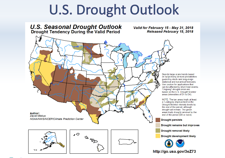
At the same time, forecasters at the National Oceanic & Atmospheric Administration project dry conditions to “develop or persist” in California over the next three months.
Clik here to view.
The weekly Drought Monitor maps are compiled by a rotating stable of authors, in consultation with various government agencies, and take into account more than 100 indicators. And while some have argued that too much weight is given them, John Leahigh, head of operations for California’s State Water Project told the water board that an “ugly picture” is beginning to form of the state’s current water year.
With the notable exception of Lake Oroville, which engineers have kept at cautiously low levels after last year’s near spillway disaster, major reservoirs remain flush from last year’s precipitation. But Leahigh told regulators that expectations are “dramatically decreasing” for runoff from the state’s key watersheds to replenish water supplies this year.
